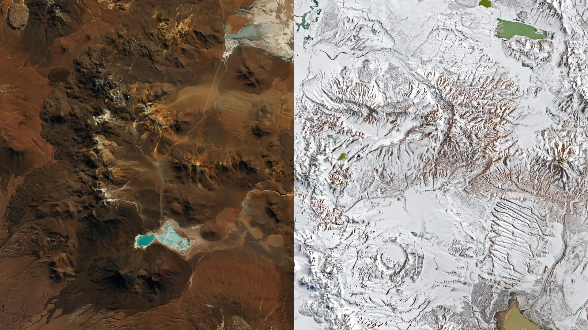
Back-to-back winter storms buried stretches of Chile's Atacama Desert in snow during August 2026, and one of them reached far enough to dust the desert's hyper-arid core within sight of the Pacific coast. Satellite images taken eight days apart show the transformation, and the same weather system suspended one of the world's most powerful radio telescope arrays and helped trigger flooding hundreds of miles to the south.
Landsat and MODIS Track the Chajnantor Plateau's Turn From Brown to White
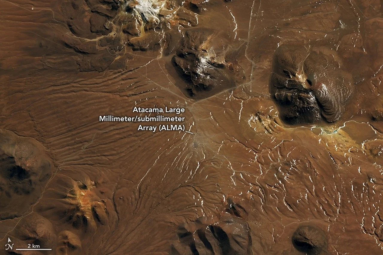
NASA Earth Observatory's account of the storm sequence is built around a before-and-after pair from the Operational Land Imager aboard the Landsat 8 and Landsat 9 satellites. The first image, from August 6, 2026, shows the Chajnantor Plateau in its usual state: brown volcanic terrain inside the Altiplano-Puna volcanic complex, broken only by a lighter patch marking the Atacama Large Millimeter/submillimeter Array, ALMA. The second, from August 14, shows the same plateau blanketed in white. The radio telescope array is nearly indistinguishable from the surrounding snow.
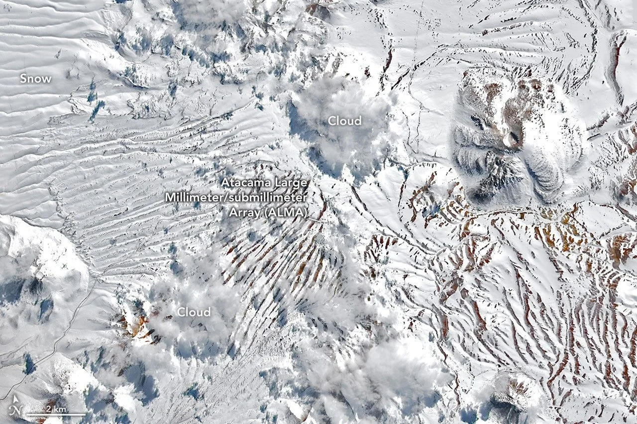
As the snow and high winds moved in, ALMA suspended observations and shifted its antennas into a protective survival mode, according to NASA. A second, larger storm followed in the second half of the month. A wider MODIS image from NASA's Terra satellite, captured August 19, shows snow extending from the Andes across the desert's driest core to within sight of the Pacific coast south of the port city of Antofagasta, an area that hosts several other major observatories, some of which also paused operations during the event.
A Cutoff Low Broke Off an Unusually Large Trough Spanning Half a Hemisphere
The Atacama stays dry because of two barriers working together. The Andes block moisture moving in from the interior of South America, and the cold Peru/Chile Current running along the coast suppresses the evaporation and cloud formation that would otherwise seed rain. Snow reaches the region only when those barriers fail, which normally happens through a cutoff low, a low-pressure system that separates from the jet stream and wanders into territory that usually stays dry. That is what produced the Atacama's last major snow event, in 2025, and the one before that, in 2011.
The late-August 2026 storm also began as a cutoff low, but NASA's reporting describes an unusual origin: it broke away from an exceptionally large trough, an elongated area of low pressure that stretched from the southern tip of South America into the subtropics, spanning an enormous portion of the Southern Hemisphere. Paired with ample moisture near the coast, that disrupted pattern produced precipitation across an unusually wide swath of territory at once: offshore, along the coastline, through the hyper-arid core of the desert, and over the Andes. It was that combination, not just the presence of a cutoff low, that let this storm reach so much farther than the 2011 and 2025 events.
Taltal's Three-Day Rain Total Was About Ten Times Its Annual Average
In some places the storm system fell as rain rather than snow. Taltal, a coastal city in northern Chile, recorded nearly 40 millimeters of rain in three days, according to atmospheric scientist René Garreaud of the University of Chile, cited in NASA's reporting. Garreaud put that figure at roughly ten times the city's annual mean rainfall. Worked backward, that comparison implies Taltal's typical yearly total is only around 4 millimeters, among the sparsest rainfall records anywhere on the continent, though that specific figure is our own calculation from Garreaud's stated ratio rather than an independently published station average. Garreaud described the totals as reaching a magnitude rarely seen in the otherwise extremely arid region, and said, "We see these kinds of events only a few times, if any, per decade."
The rain and snow together triggered destructive mudflows and flash flooding in parts of northern Chile. Chile's National Disaster Prevention and Response Service, SENAPRED, reported that thousands of people were affected and hundreds of homes sustained major damage, per NASA's account of the agency's findings.
A Strengthening El Niño Is Pulling the Storm Track Toward the Equator
Garreaud pointed to a strengthening El Niño as the backdrop for what has been an anomalously wet winter across north-central Chile, and NASA's reporting notes a separate major event in July 2026 that brought significant impacts to the country's Norte Chico region. During El Niño, the subtropical Pacific high that normally keeps the Atacama dry tends to weaken, while a blocking high forms in the South Pacific near the southern tip of the continent. Together, those shifts push the Southern Hemisphere storm track closer to the equator, giving systems like the late-August cutoff low a wider path into territory that is normally shielded from them.
None of this settles how often storms of this reach will recur, or whether a single strong El Niño season marks any lasting change to Chile's storm track. What the record does show is that the desert's defenses, the Andes rain shadow and the cold coastal current, held for most of the twentieth century and have now been breached three times since 2011, twice within the past fourteen months. High in the Atacama, sunlight, thin dry air, and elevation also mean the snow itself will not last. Much of it is expected to sublime directly from ice to vapor within weeks, leaving the Chajnantor Plateau to return to the brown, snowless terrain visible in the August 6 image, until the next system finds its way through.
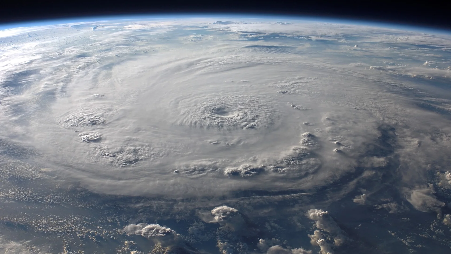
Why Some Tilted Hurricanes Quickly Align, and Others Stay Leaning
New analysis of 1,510 NOAA Hurricane Hunter radar scans reveals why some tilted tropical cyclones quickly align vertically while others stay leaning and weak.
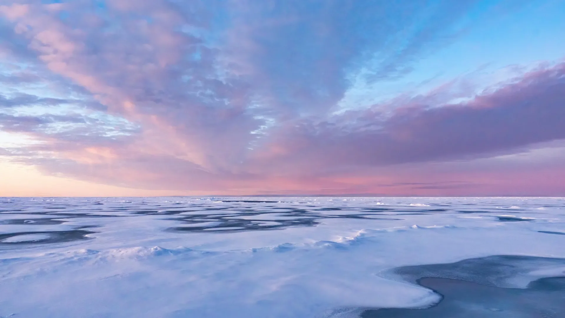
Ship Data Show Iodine and Sulfur Chemistry Seeding Arctic Clouds
A five-week Greenland ship campaign found iodine and sulfur acids seeding Arctic particles, then organic vapors grew them into far more cloud-seeding nuclei.
Comments (0)
Please sign in to join the discussion.
No comments yet.
Be the first to share your perspective on this topic.