In 1963 and 1964, survey ships mapping fishing grounds off Benin's coast recorded a coral reef barrier more than 50 meters below the surface. The scientists on board concluded it was probably dead and moved on. In 2025, a Beninese-led research team returned with modern sonar and a tethered underwater drone. The reef was alive.
A 1966 Fishing Survey Flagged a Reef, Then Called It Dead
The original surveys were carried out by ORSTOM, the French overseas science agency now known as the Institut de Recherche pour le Développement, at the request of the governments of Dahomey and Togo. Their goal was to chart trawlable seabed and catalog fish, not to study corals. Along the way they logged a reef barrier at depths of 52 to 56 meters, later published by Crosnier and colleagues in 1966. Working from dredge samples and acoustic returns, with no way to put a camera on the seafloor, they judged the reef dead. No one returned to check for more than half a century.
That changed with the Coral Reefs Rediscovering and Exploration project in Benin, known as COREB, run by researchers at the Institut de Recherches Halieutiques et Océanologiques du Bénin with equipment from the National Geographic Society's Exploration Technology Lab. Between April and December 2025, the team used the 1966 maps as a starting point and set out to answer one question: was anything still alive down there.
The survey combined a DeepVision side-scan sonar towfish with a Qysea Fifish V-EVO tethered drone and the National Geographic Society's baited Deep Sea Camera System, all rated to depths beyond the reef's 52-to-56-meter range. Funding came from a National Geographic Society grant to lead author Coffi Gérard Franck Zinzindohoué of the Institut de Recherches Halieutiques et Océanologiques du Bénin.
Two Sonar-Mapped Patches, One Visually Confirmed Alive
Between April and May 2025, the team ran 35 side-scan sonar transects covering 11.5 kilometers of track line. Across a roughly 7-kilometer west-to-east stretch of Benin's mostly sandy shelf, the sonar picked out two separate zones of elevated acoustic backscatter, a signature the researchers interpreted as consolidated hard-bottom structures rather than sand. The two zones sit about 5.4 kilometers apart, which suggests the hard substrate occurs as isolated patches rather than one continuous barrier.
| Area 1 | Area 2 | |
|---|---|---|
| Structure length | 208 m | 275 m |
| Maximum elevation | 7.4 m | 10.3 m |
| Depth range | 52-56 m | 52-56 m |
| Distance from the other zone | — | ~5.4 km west of Area 1 |
| Visually surveyed by drone or camera | Yes | No |
| Living coral confirmed by imagery | Yes | Not established |
That last row matters. Budget and logistics limited the drone dives to the first sonar target, and the imagery published in the study, including the coral and fish photographs, comes from Area 1. Area 2 carries the same acoustic signature as a hard-bottom feature and is, if anything, the larger structure by the sonar measurements. But nobody has put a camera on it yet, so whether it also hosts living coral is an open question rather than a confirmed fact.
Octocoral Gardens and Eight Fish Species at 54 Meters
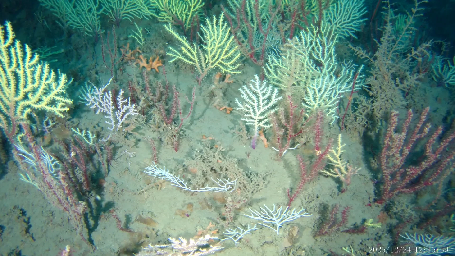
At Area 1, drone and camera footage showed living coral on consolidated rocky blocks at around 54 meters. The community was dominated by octocorals, commonly called soft corals, with at least six distinct morphotypes ranging from fan-shaped gorgonian sea fans to smaller planar and monospecific growth forms. Researchers also recorded two morphologically distinct black coral taxa. Framework-building scleractinian corals, the kind that build the rigid limestone structure of a typical shallow reef, were rare and limited to small, pale colonies. The authors describe the habitat as a mesophotic coral garden rather than a structuring reef, since there was no substantial carbonate framework in the imagery.
Not every colony was thriving. The survey also documented dead octocorals colonized after death by hydroids and tube-building serpulid worms, a reminder that the site is a living, changing community rather than a uniformly pristine discovery.
Eight reef-associated fish species turned up in the footage, including Lutjanus fulgens, Chromis cadenati, Holacanthus africanus, and Chaetodon robustus, sheltering and feeding around the coral structures. Because the stationary camera used bait to draw in fauna, the species list likely skews toward scavengers and predators rather than reflecting the full community.
The pattern fits what has been documented at other mesophotic sites in the tropical Atlantic, including Puerto Rico, Brazil's Abrolhos Shelf, and hard-bottom habitats off the mouth of the Amazon. In each case, the availability of consolidated substrate, not any unusual local condition, appears to be what lets these deep coral communities take hold. That comparison is part of why the study's authors argue similar patches could exist elsewhere along West Africa's largely unmapped continental shelves.
Why Benin's Warmer Bottom Water and the Reef's Age Remain Open
Sensors on the camera and drone logged bottom-water conditions at the coral sites: temperatures from 18.9 to 25.9 degrees Celsius and dissolved oxygen saturation from 44.5 to 92.5 percent across the 50-to-60-meter depth band, a wide spread the authors attribute to the reef sitting within a seasonal thermocline. Those readings run warmer than the 16-to-18-degree range Crosnier's team reported at similar depths off Cotonou in August 1966. The new paper is explicit that this is not evidence of long-term ocean warming on its own. The two datasets were collected decades apart, in different seasons, using different instruments, and the current study cannot rule out that it simply sampled a different point in the annual temperature cycle.
Two other questions remain unresolved by design. The geological origin of the hard-bottom structures, whether they are lithified outcrops or the physical remains of an older reef, is unknown and would require rock sampling to determine. And because no coral or fish specimens were physically collected, all species identifications in the study are provisional, based on video and photographs rather than skeletal or genetic analysis. The authors frame this as a first, exploratory confirmation rather than a full habitat survey, and they call for broader acoustic mapping and physical sampling across the rest of Benin's roughly 2,800-square-kilometer shelf to establish how much more of this habitat is out there.
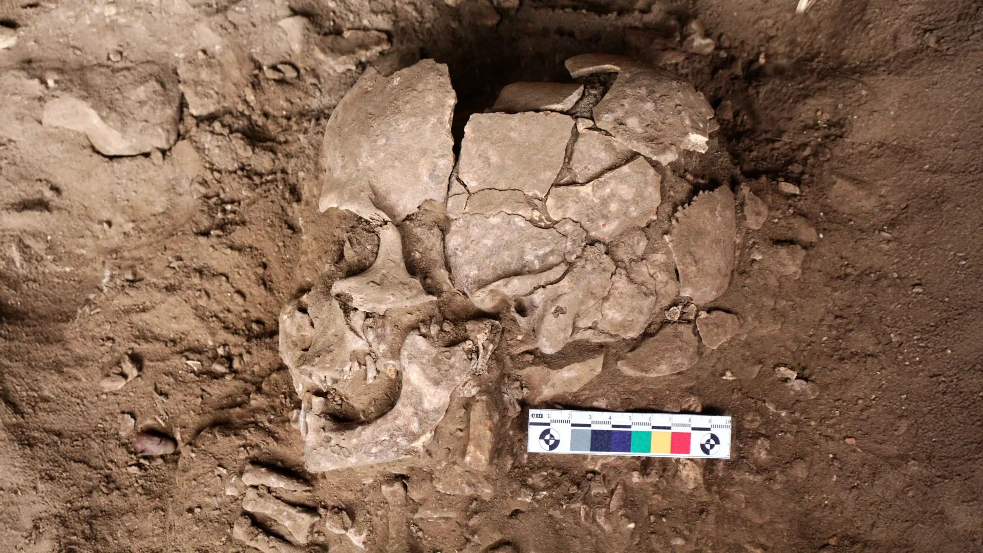
25,000-Year-Old Teeth From Indonesia Reveal the Oldest Known Drug Habit
Grooved teeth from Sulawesi show foragers sucked betel nuts as early as 25,000 years ago, releasing arecoline in the mouth long before farming began.
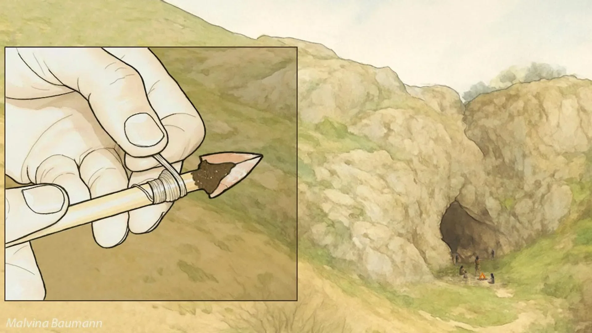
80,000-Year-Old Points From Uzbekistan May Be the Oldest Arrowheads on Record
Tiny stone points from Obi-Rakhmat, Uzbekistan, dated to about 80,000 years ago, show impact damage and size consistent with arrow tips, a study finds.
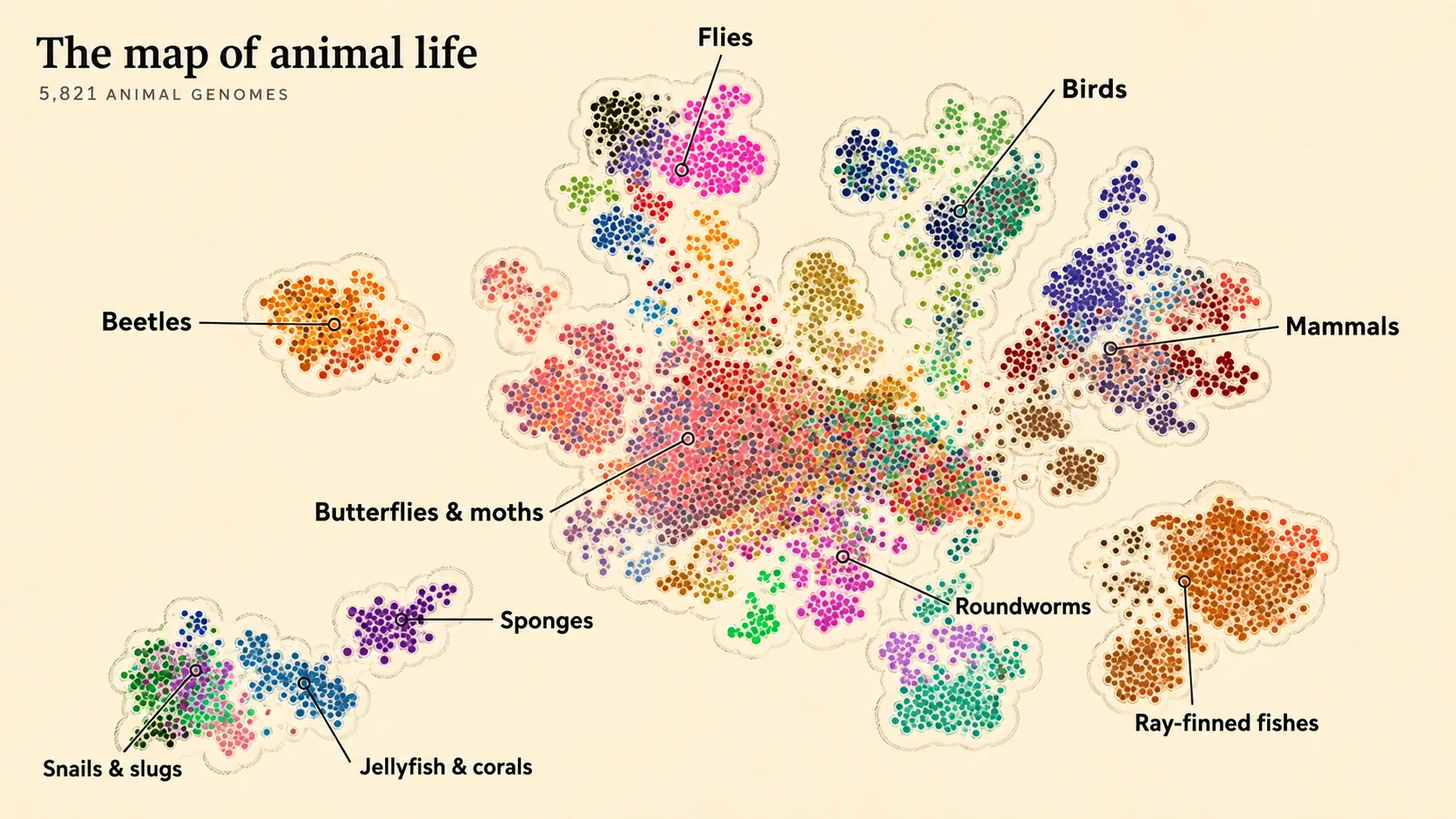
A Map of 5,821 Animal Genomes Shows Chromosomes Fuse Along Fixed Paths
A University of Vienna-led study compared 5,821 chromosome-scale animal genomes and found all 406 possible ancestral chromosome fusions have already occurred.
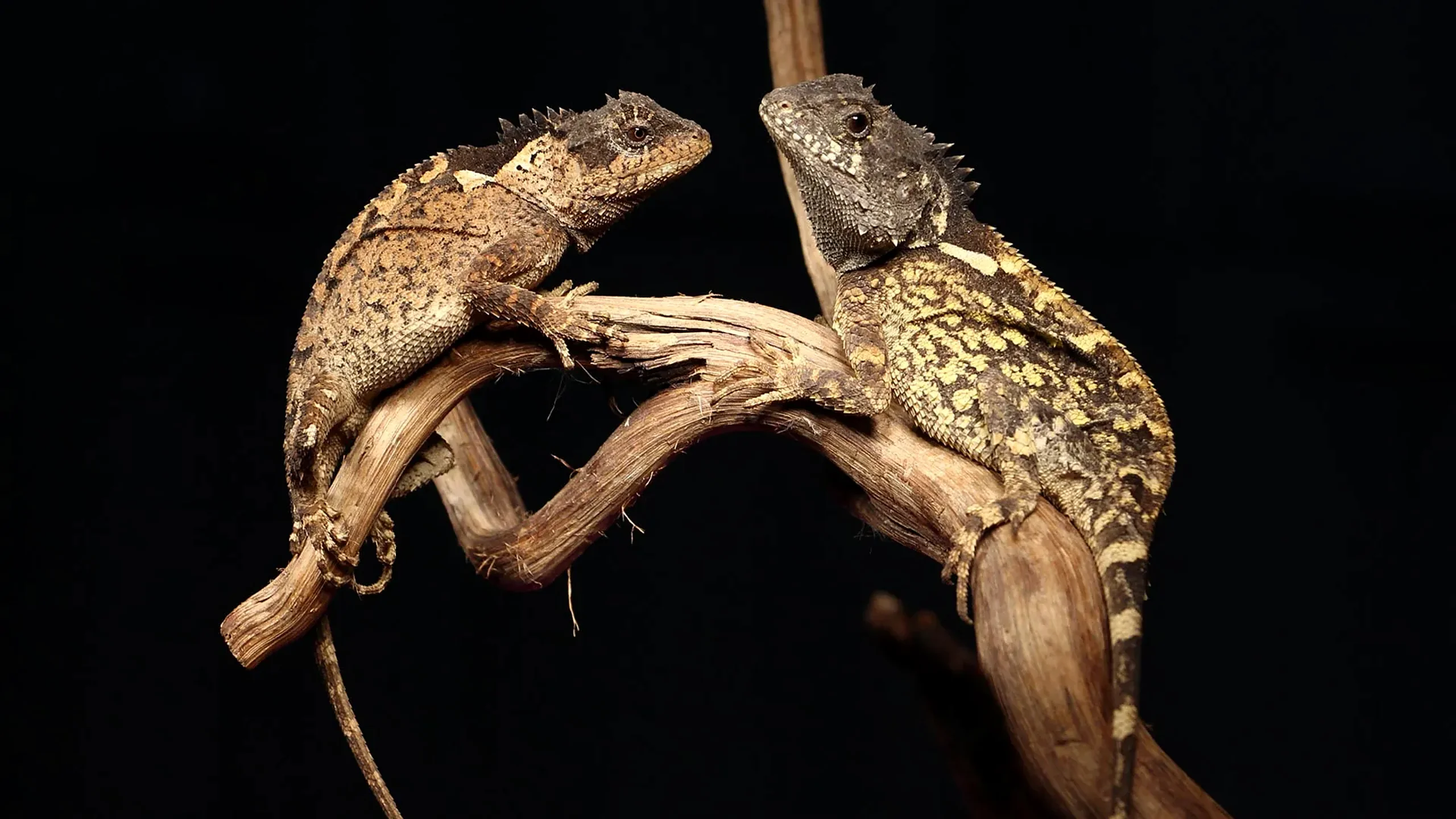
New Mountain Horned Dragon Species Discovered in Thailand, Named After House of the Dragon's Syrax
Researchers describe Acanthosaura syrax, a new Thai lizard found above 1,300 meters in Mae Wong forest, with COI distance up to 28% from its closest kin.
Comments (0)
Please sign in to join the discussion.
No comments yet.
Be the first to share your perspective on this topic.